
Article by: Hari Yellina (Orchard Tech)
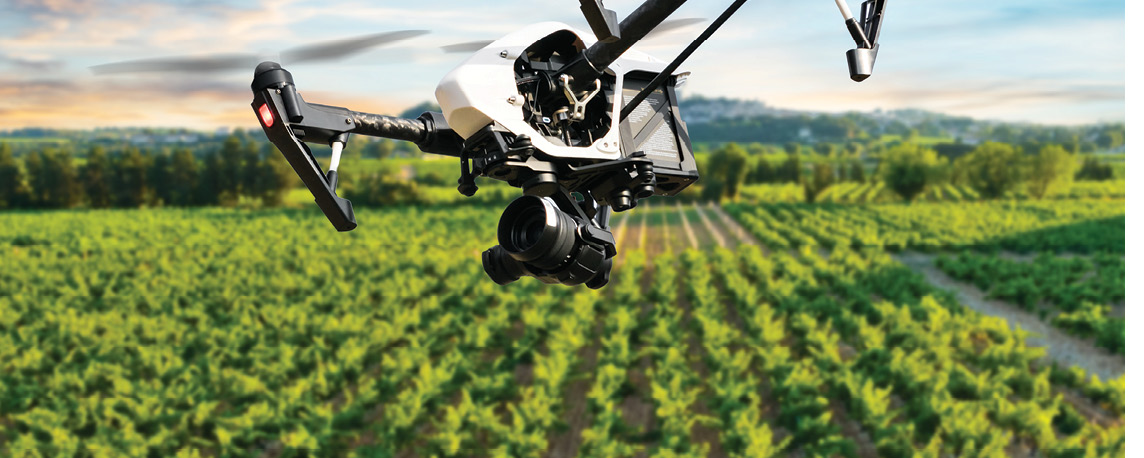
What does the future of farming look like? For DroneDeploy CEO Mike Winn, he imagines a world where drones are able to autonomously monitor farms from the sky and collect data. This data can be compared to previous days in order to identify issues. Data will then be sent to a ground robot that can take immediate action. Thanks to companies like DroneDeploy, this future is edging closer to reality. DroneDeploy was founded in 2013 by South Africans Jono Millin, Nicholas Pilkington and Mr Winn.
It is a world-leading drone software provider with its products used by a variety of industries including construction, mining and renewable energy. However, the company’s origins lie in the agricultural sector. There are over 35 million hectares of corn just in America and these farmers have huge fields, it is really hard to know what is going on, and the bird’s eye perspective is incredibly powerful. DroneDeploy’s software is mainly being used by seed and chemical company representatives and agronomists in the agricultural industry.
Among its big customers is Corteva Agriscience, which has more than 1000 drones in its fleet. DroneDeploy’s tools are also being used by Disaster Relief Australia as well as the CSIRO to monitor the world heritage-listed Kakadu National Park. Australia is the company’s second-biggest market after the US and in July 2010 a Sydney office was opened to better serve the region. In a nutshell, Mr Winn said they are able to conduct crop scouting with a drone instead of a person having to walk the paddock.
One of the benefits of DroneDeploy’s product is it provides in-field, real-time data without connection to the internet. Its two main features, live map and stand count, are processed on a smartphone and tablet. Users can select an area for the drone to fly in the app to create real-time maps. The video stream captured while flying is used to formulate a map of the ground below. Mr Winn said the maps created are measurable and geolocated so users can fly the same area and see changes over time.
Mr Winn said the next step in the journey is to enable farmers to take action. He said this was where ground robotics could play a big part, not just in capturing data but in using robots to deliver the actions that need to be taken. In August, DroneDeploy accelerated its development of software solutions for ground robotics with the purchase of New Zealand company Rocos.